
The Hocking River Commission (HRC) believes the best way to enjoy and appreciate the Hocking River as a natural resource and linear park is to float a stretch of the river and see the river from a heron’s point of view. HRC has sponsored access sites and the Hocking River can also be accessed from roadways. Listed are HRC’s favorite access points. Plus, we also included a link to the Ohio Department of Natural Resources site for access to the Hocking River. Paddle well and we hope you see a heron!
While we’ve provided more specific information on our favorite access locations on separate pages, here is a more complete list.
Location | River Mile(from mouth) | Miles from next upstream | Comments | More comments | Longitude/Latitude
dd.ddd (NAD83/WGS84) |
Mobile home park, launch into Ohio | 0 | 0 | Commercial operation | 39.1844°N, 81.7538°W | |
US COE ramp and parking lot just north of St Rt 7 | 5.5 | 5.5 | Parking and concrete ramp | 39.2295°N, 81.7948°W | |
Bridge @ Frost | 9.9 | 3.6 | 39.2759°N, 81.8314°W | ||
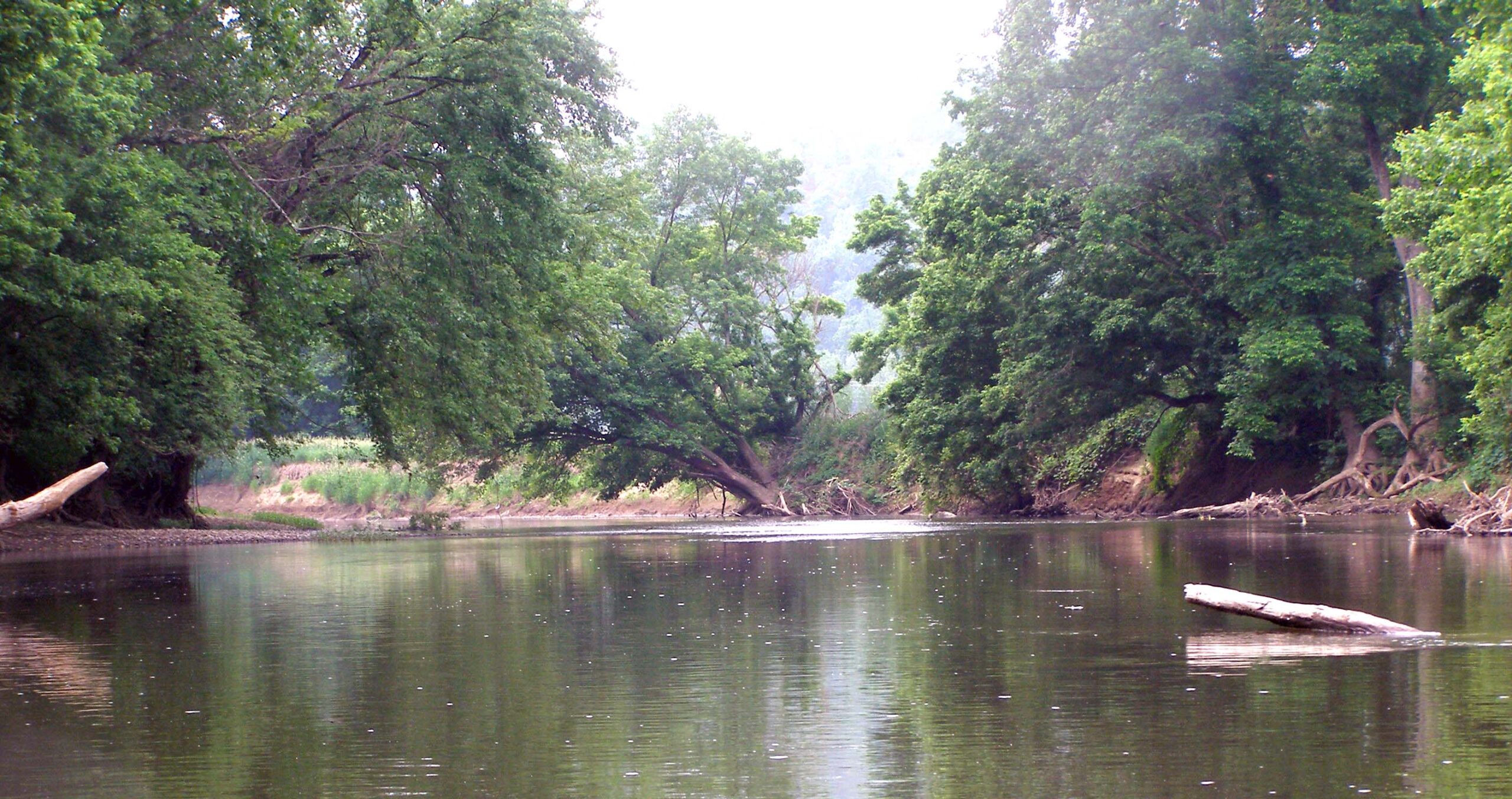
Bridge @ Beebe | 13.5 | 3.0 | 39.3120°N, 81.8576°W | ||
Federal Creek Mouth | 15.3 | 39.3198°N, 81.8793°W | |||
St Rt 144 Bridge @ Stewart | 16.5 | 3.8 | 39.3081°N, 81.8895°W | ||
Guysville, Savannah Park | 20.3 | 7.5 | Challenges, steep but park exists. | Perhaps | 39.2892°N, 81.9246°W |
US Highway 50 bridge | 20.6 | 39.2862°N, 81.9268°W | |||
County Road 24A | 27.8 | 5.2 | 39.3273°N, 82.0046°W | ||
Stimson Avenue bridge, Athens | 33.0 | 3.5 | Parking for rec. fields. Grassy bank | In channelized section | 39.3309°N, 82.0876°W |
Whites Mill Falls | 36.2 | Portage right | 39.3301°N, 82.1255°W | ||
Margaret Creek | 36.4 | 39.3317°N, 82.1269°W | |||
Athens City Park – Wellfield | 36.5 | 3.6 | Parking and gravel ramp exist | 39.3332°N, 82.1258°W | |
Hocking River Commission Prop just downstream Rt.33 & 550 | 40.1 | 3.9 | Rip rap | 39.3620°N, 82.1118°W | |
US Highway 33 bridge | 40.0 | The Plains sewage outfall | 39.3635°N, 82.1115°W | ||
Sunday Creek | 42.9 | 39.3913°N, 82.1229°W | |||
Beaumont | 44 | 4.0 | Good for slide /step launch parking area exists. Near bike path parking lot. Portolet | 39.3891°N, 82.1403°W | |
Bike Path Parking | 39.3866°N, 82.1430°W | ||||
Glen Ebon | 48 | 3.4 | 39.4042°N, 82.1893°W | ||
Monday Creek | 39.4166°N, 82.1930°W | ||||
State Route 691 | 51.4 | 1.6 | 39.4399°N, 82.2105°W | ||
Nelsonville Old swimming Pool park | 53 | 0.3 | Parking available | 39.4517°N, 82.2307°W | |
Nelsonville, train depot park | 53.4 | 0.4 | Parking, earth ramp | 39.4576°N, 82.2336°W | |
Nelsonville ST.RT. 278 bridge | 53.8 | 5.3 | City Building Verbal approval of City for access | 39.4590°N, 82.2401°W | |
Laurel run Road | 59.1 | 1.7 | Some roadside parking | 39.4593°N, 82.3131°W | |
Haydenville | 60.8 | 5.7 | Wayne Nat’l Foerest | 39.4741°N, 82.3298°W | |
St Rt 328 | 66.5 | 2.0 | Some roadside parking | 39.5204°N, 82.3775°W | |
St Rt 93 | 68.5 | 1.5 | Access developed | 39.5339°N, 82.4075°W | |
Falls Mills, St Rt 664 | 70.0 | 3.3 | Hocking River Commission property; ccess developed | Rapids, portage right | 39.5421°N, 82.4306°W |
Chieftan Drive@ Enterprise | 73.3 | 2.7 | 39.5635°N, 82.4746°W | ||
Rockbridge Nature Preserve | 76? | 2.0 | Access to preserve | 39.5778°N, 82.5014°W | |
Rock Bridge Road | 78 | 1.5 | 39.5836°N, 82.5183°W | ||
Clear Creek; Clear Creek Road | 79.5 | 2.4 | 39.5969°N, 82.5456°W | ||
Sugar Grove | 81.9 | 2.1 | Mouth of Rush Creek | 39.6218°N, 82.5476°W | |
???? Road | 39.6232°N, 82.5531°W | ||||
Horns Mill Rd. | 83.0 | ||||
Clear Creek @ Hocking River | 79.5 | 39.597118 N 82.545579 W |